earth mesh
earth mesh
Google Earth utilizes 3D mesh to represent topographic features. These images are direct, unedited screenshots from a glitch process in Google Earth.


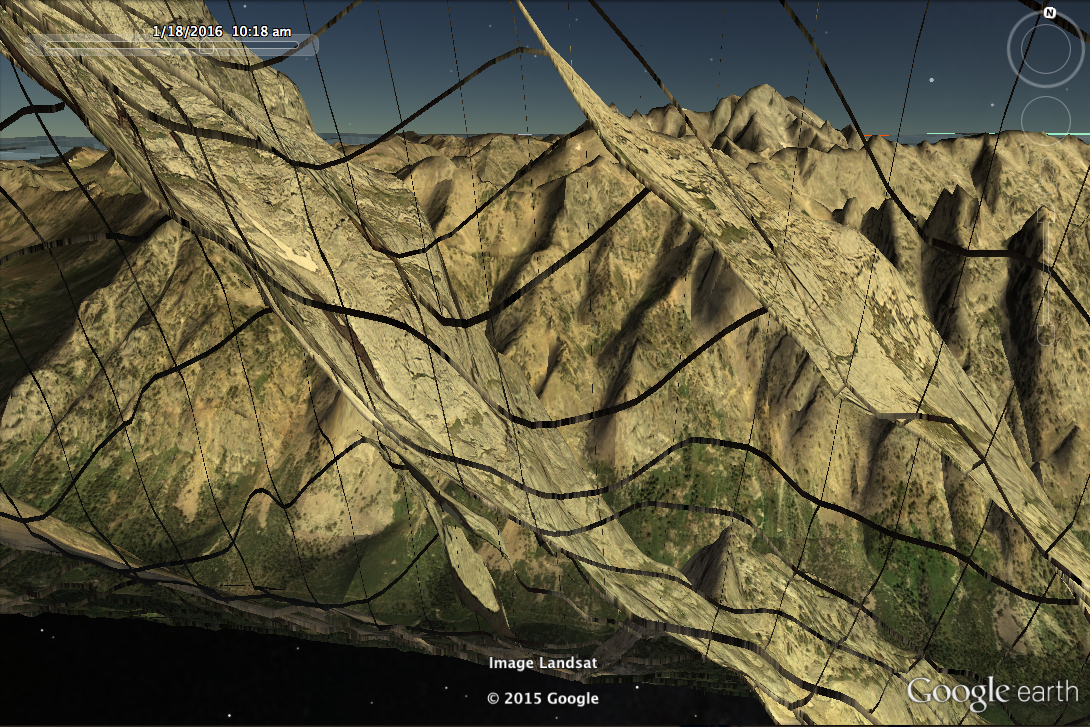
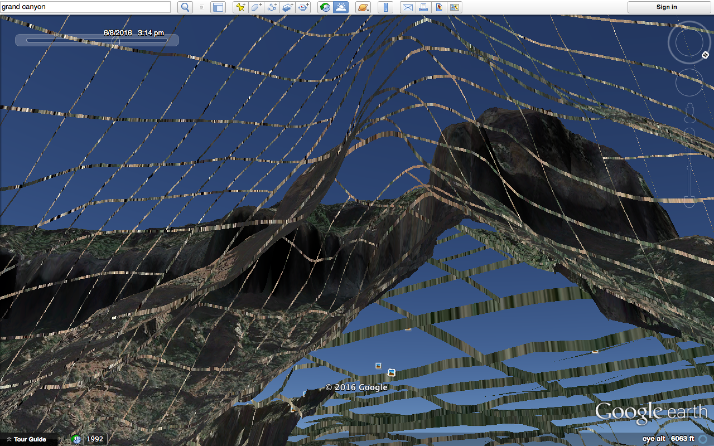

Google Earth utilizes 3D mesh to represent topographic features. These images are direct, unedited screenshots from a glitch process in Google Earth.